In the South of the Netherlands activities of underground mining probably begun already by the Romans. Surely these activities strongly developed during the late middle ages. Since the 16th century, marl has been mined on a large scale by the so-called “block breakers” who sawed out the blocks of limestone. Due to a layer of soil covering the marl, it was impossible to carry out surface mining, making it necessary to dig tunnels under the ground. In order to maintain stability of the mined caves, it was necessary to leave pillars as supports and to reduce the width of the caves to a certain limit. In the end by the year 1900 labyrinths of 20,000 tunnels extending over an area of 80 hectares had been excavated. New technologies allowed from then on to perform surface mining. Most areas of caves and tunnels remained but some collapsed and most of them are not accessible anymore. For structures at the surface as houses, water reservoirs and other technical facilities and buildings, these remains of mining represent a risk of for structural integrity.
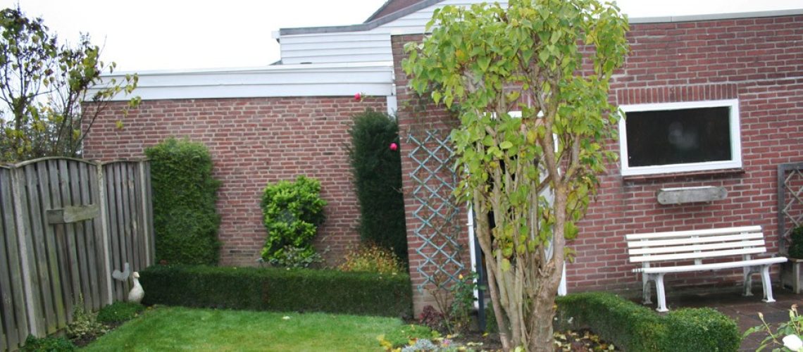
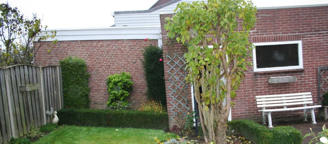
Sisgeo International was appointed to supply and install a system for monitoring 2 buildings for change of inclination and displacements. Under supervision and support of a local geologist, Sisgeo International supplied and installed the system and established a web- based data management to access the measured data and display results in graphs that are related to the individual sensor locations.
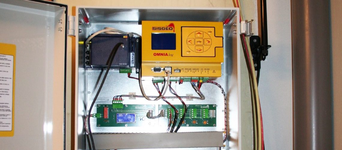
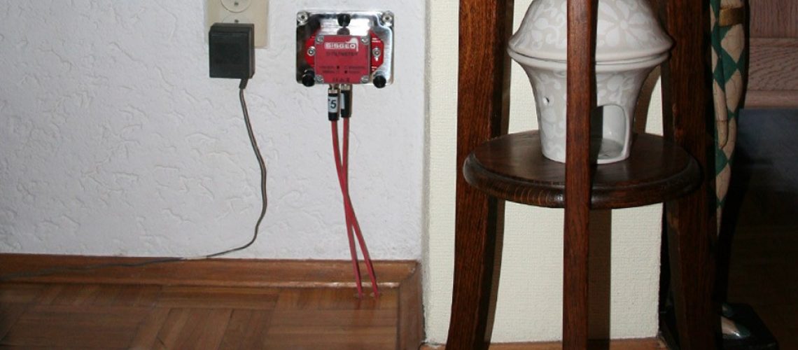
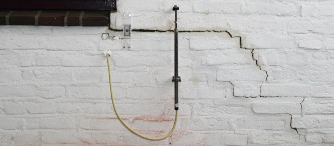
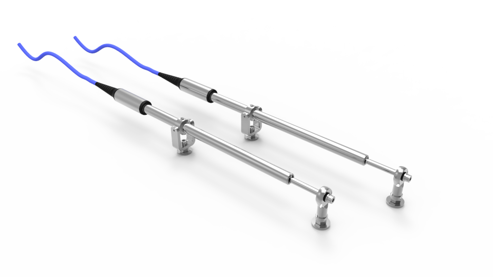
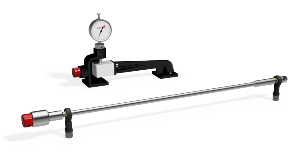
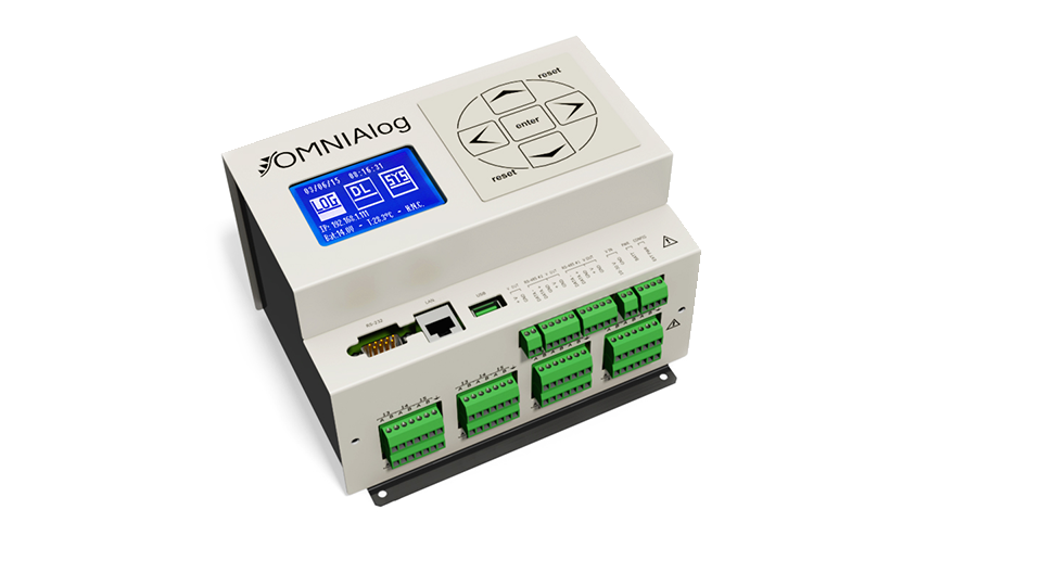
A total of 7 biaxial digital tiltmeters and two displacement transducers, installedover existing cracks, have been placed at critical locations on the houses. All sensor are connected to Sisgeo’s OMNIALog data acquisition system. This unit, equipped with a router and GSM/GPRS-modem, sends the retrieved data regularly to an ftp-server. A project website, especially setup for this application, refreshes the displacement graphs and the alarm status automatically.

