What are rock falls and topple landslides monitoring?
Topple and rock fall monitoring are geotechnical monitoring techniques used to assess and mitigate the risk of rock falls and topples, which are two types of slope failures that can occur in rocky terrain.
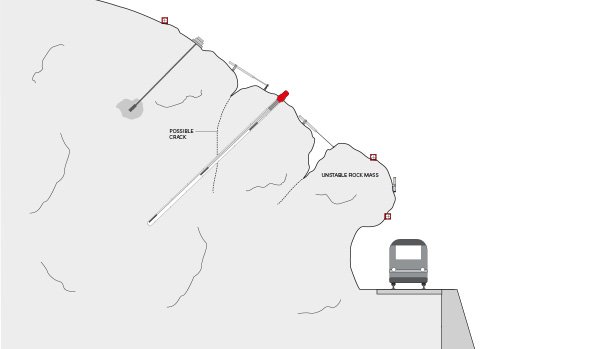
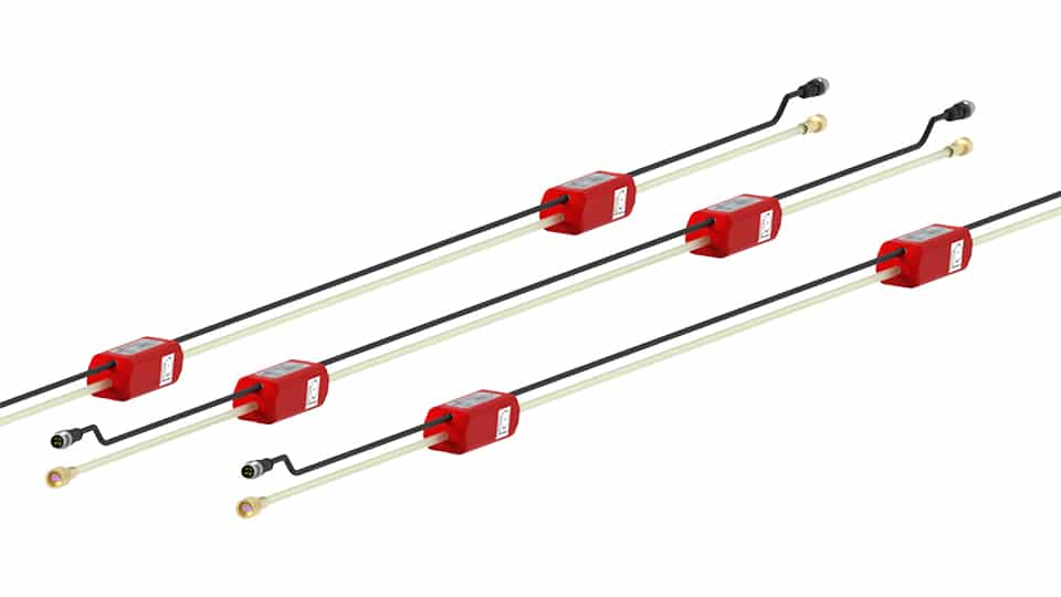
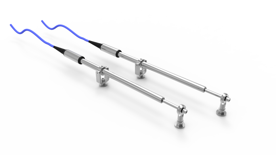
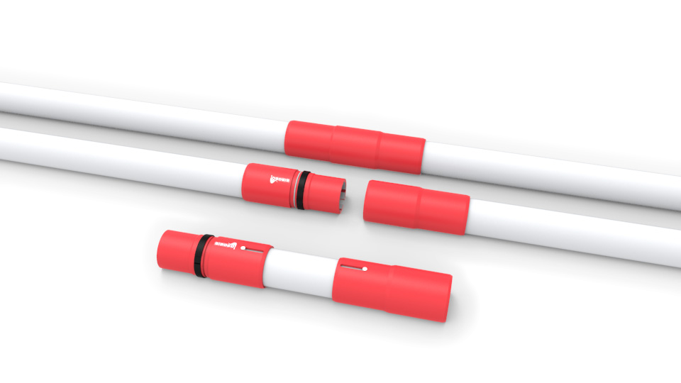
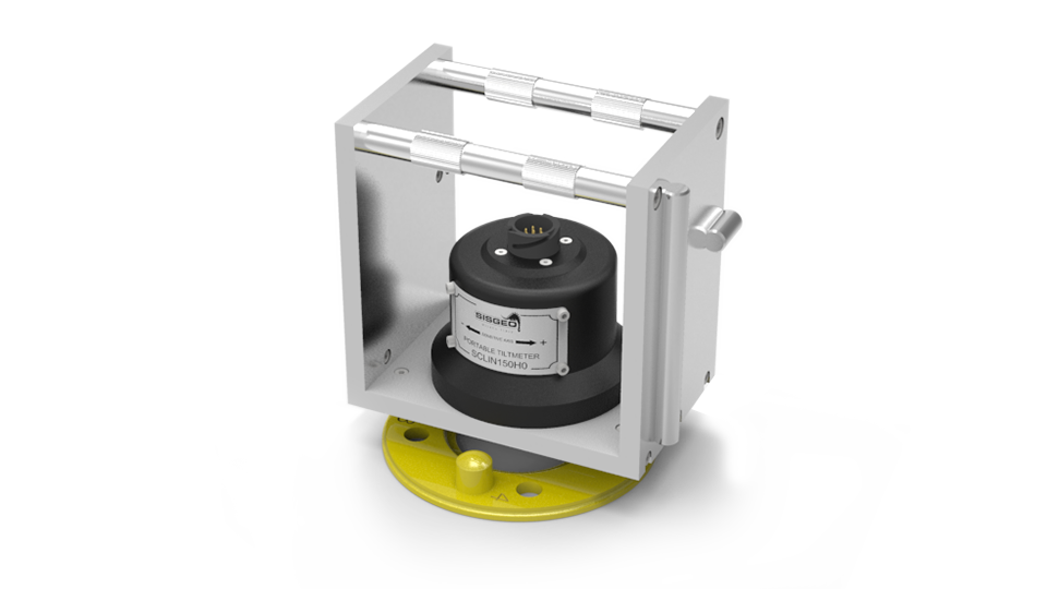
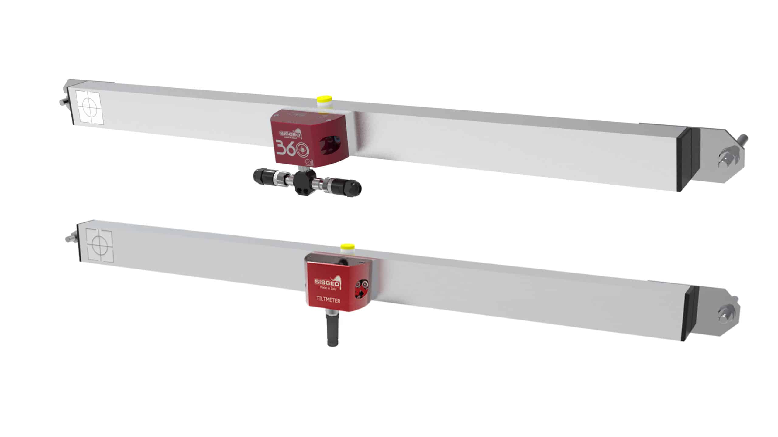
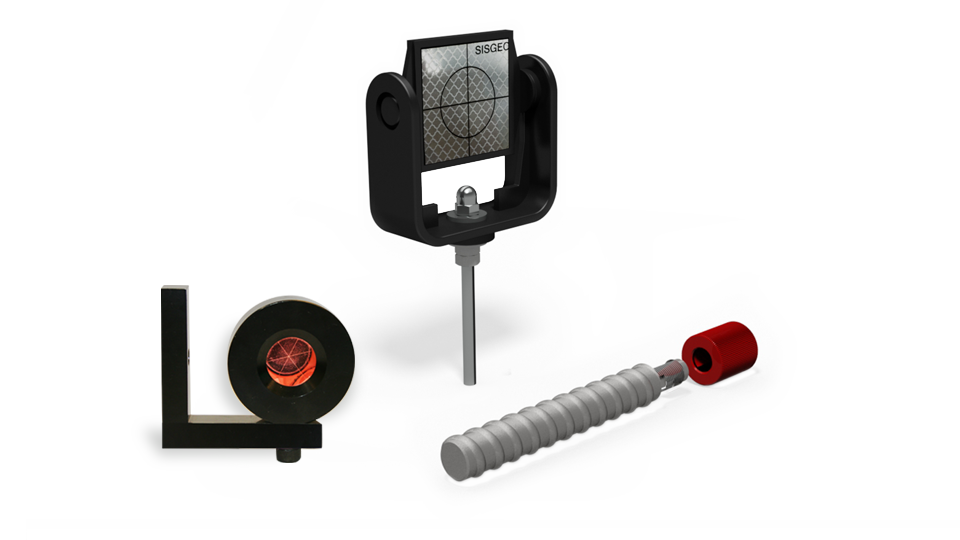
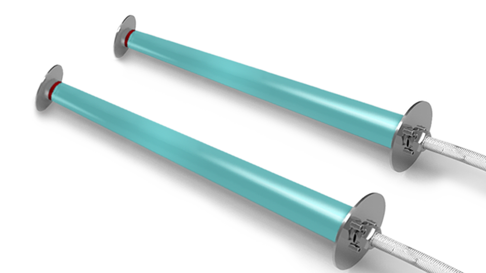
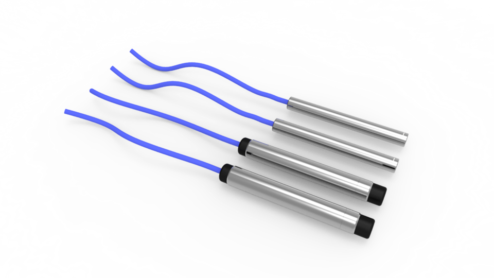
Topple monitoring involves the continuous monitoring of the stability of large boulders or rock masses that are perched on a slope. These boulders or masses can become unstable and topple-down the slope, posing a significant risk to human life and infrastructures. Topple monitoring typically involves the use of tiltmeters, which are instruments that measure changes in the angle of the boulder or rock mass. If the angle changes beyond a certain threshold, it may indicate that the boulder or mass is becoming unstable and could topple down the slope. Also, crackmeters and extensometers are used for this purpose.
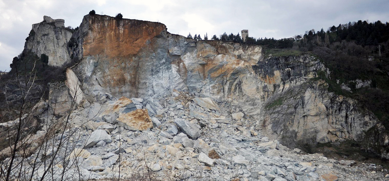
Rock fall monitoring involves the continuous monitoring of the stability of cliffs or rock faces that are at risk of rock falls. Rock falls occur when blocks of rock break away from a cliff or rock face and fall down the slope. The data collected can be used to assess the frequency and magnitude of rock falls in a particular area, and to develop appropriate measures to mitigate the risks.
Both topple and rock fall monitoring are important tools for assessing the risk of slope failures and developing appropriate measures to mitigate the risks. This can include the installation of protective barriers or catchment systems to prevent rocks or boulders from falling onto roads or buildings, or the implementation of warning systems to alert nearby communities of an impending slope failure.
Sisgeo Piezometers: Comprehensive Solutions for Groundwater Monitoring
What You’ll Learn:
Detailed overview of Sisgeo’s range of piezometer technologies including vibrating wire and electric piezometers, outlining their operating principles, installation methods, and suitability for diverse site conditions.
Selection of piezometer filters, emphasizing materials and designs that conform to ISO 18674-4 standards.
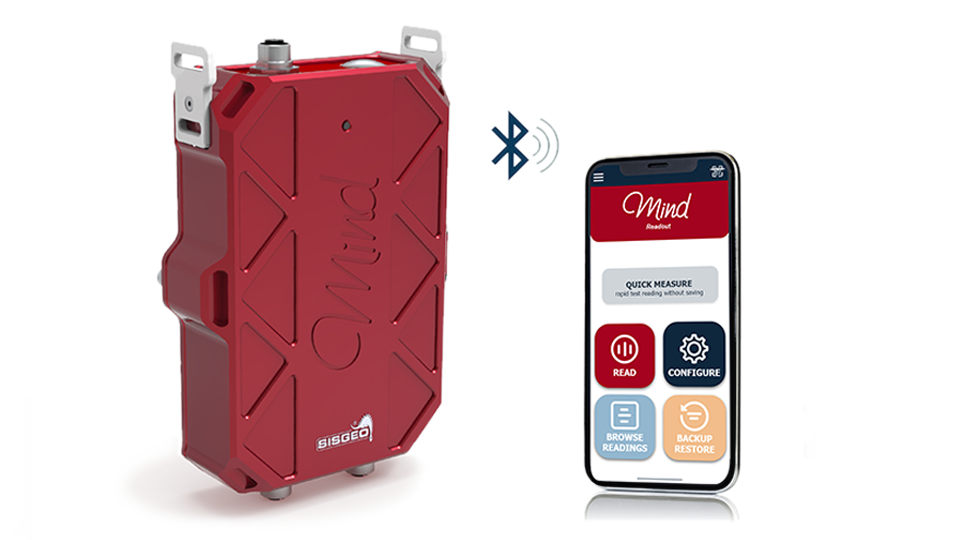
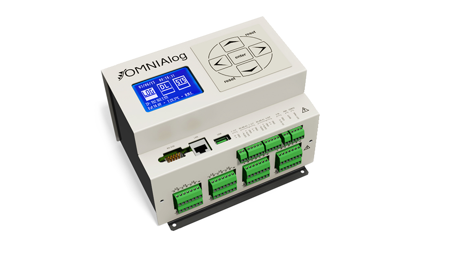
Integration of piezometer data with automated acquisition systems.
Best practices for calibration and maintenance standards.
When:Thu, Jul 31, 2025 3:00 PM – 4:00 PM CEST Language: English